10 HILLCREST DRIVE
Owner Information
KEATING, JOHN, T.
10 HILLCREST DR
HOPKINTON, MA 01748


Property Details
10 HILLCREST DRIVE is classified as a Single Family Residential (Ranch).
The primary structure on this property was built in 1970. There are 2,974ft2 of built area within this property. There is 1,344ft2 of residential/living space within this property. This property is listed as having 7 rooms.
10 HILLCREST DRIVE is valued at $342,900. The land is valued at $171,300 and the structures are valued at $171,000. There is an additional valuation of $600 on this property.
This property is in Zone RLF. Confirm with local Zoning Board authorities to ensure there are no overlays or other easements on this property.
The most recent deed for 10 HILLCREST DRIVE is recorded at the local registrar in Book 35476, Page 331. 10 HILLCREST DRIVE was last sold on Tuesday, May 14, 2002 for $100.
Assessment data from fiscal year 2022.
Flood Data
According to the FEMA National Flood Hazard Layer, this property does not appear to be in a flood zone. It may also be in an area not yet reviewed. Nonetheless, confirm this information prior to taking any action.
To view the flood hazards around this property, create a FEMA "Firmette" Map of the area around 10 HILLCREST DRIVE.
Broadband Internet Providers
| Provider | Type | Bandwidth (mbps) | |
|---|---|---|---|
| Verizon New England Inc. | DSL | 5 | 0 |
| VSAT Systems, LLC. | Satellite | 2 | 1 |
| HughesNet | Satellite | 25 | 3 |
| GCI Communication Corp. | Satellite | 0 | 0 |
| PAETEC Communications, Inc | DSL | 0 | 0 |
| Comcast | Cable | 1000 | 35 |
| Crown Castle Fiber | Fiber | 0 | 0 |
| Viasat Inc | Satellite | 100 | 3 |
| Verizon New England Inc. | Fiber | 940 | 880 |
Broadband service provider data from December 2020.
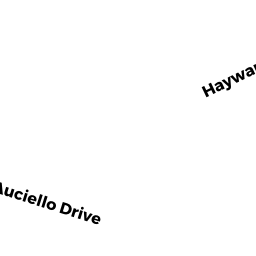
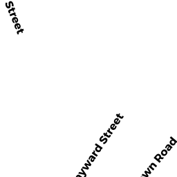
Adjacent Properties
- 12 HILLCREST DRIVE
Single Family Residential owned by THIEL, RUSSELL F. - 132 NEWBURY STREET
Undevelopable Residential Land owned by PEARSON- KEATING, JODI - 0 NEWBURY STREET
Undevelopable Residential Land owned by MURPHY, JEANETTE (TRUSTEE) - 0 HAYWARD STREET
Undevelopable Residential Land owned by PEARSON-KEATING, JODI - 6 HILLCREST DRIVE
Single Family Residential owned by EHNSTROM, GARY A.